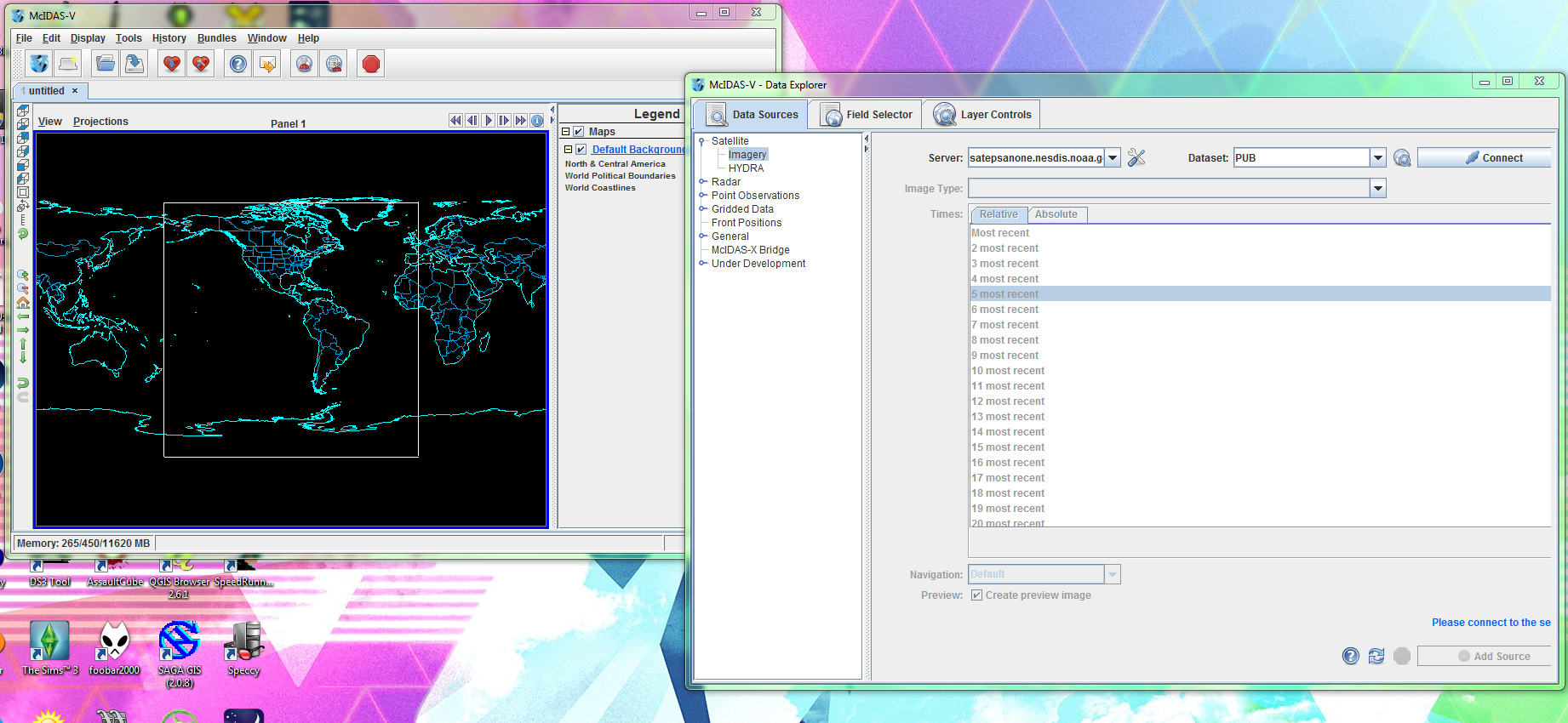
Set your server to satepsanone.nesdis.etc & click connect

select GWNHEM04I4 (or 01V for visible, and like 04I3 for water vapor), GWFDSK (full disk), or GE (goes east) MT (MTSAT) etc for different satellites and sectors and wavelengths

Select how many images you want. It will take a while to load more than like one image (when you display them later).

Open this thingy up

Select 'Brightness' or 'Temperature' because those are calibrated data sets. Find the Advanced tab, and click the green expandy symbol to tell it to display a full res image. Then click Create Display.

It will load and then your second window will be like 'hi i have thing'

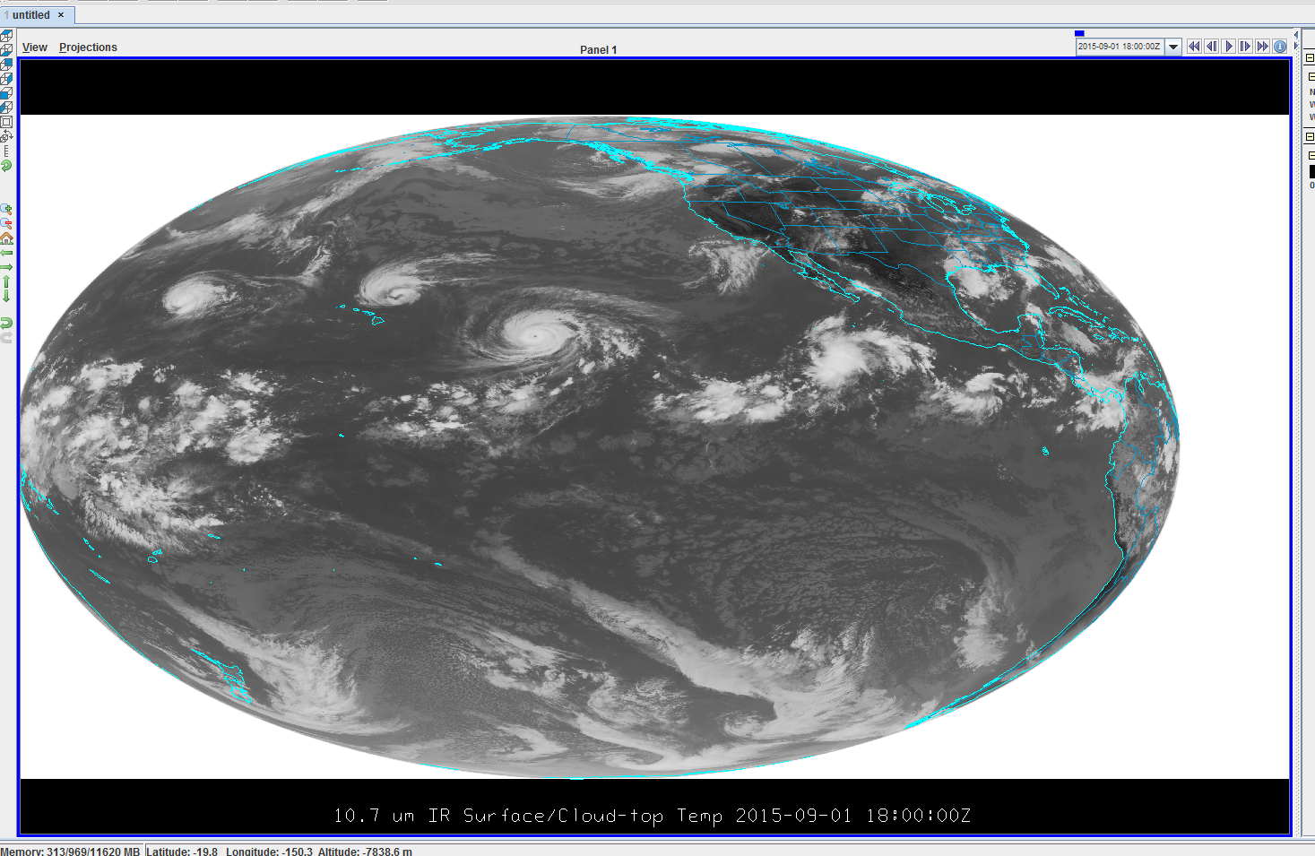
You can change the projection. I created my own projection, it's pretty simple, and it works well for both the tropics and especially the poles. You can pan (and zoom) with the tools on the right, or scroll with your mouse (to zoom, but you can't click and drag to pan)

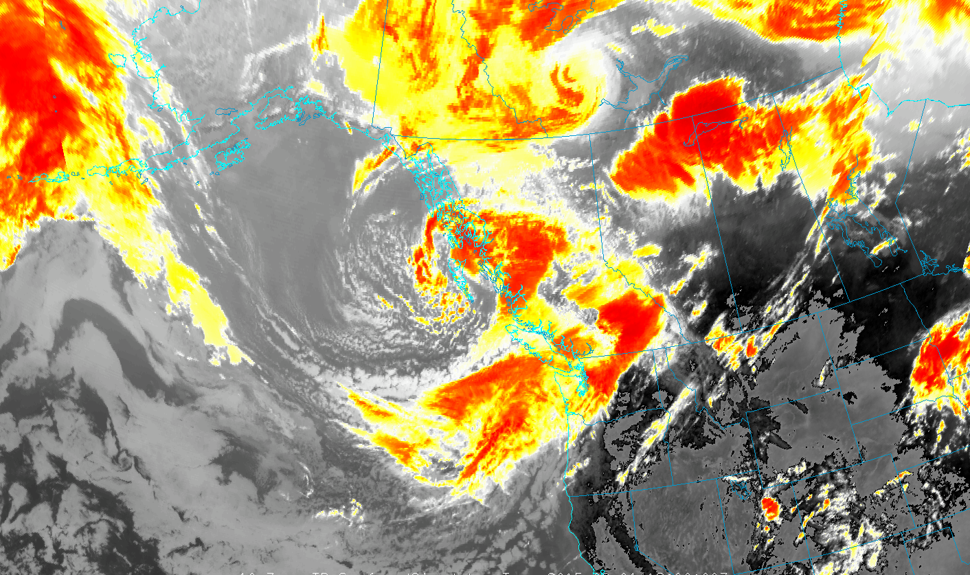
and then you can mess with the color tables or make you own. Here's Asaaluk in my extratropical IR color scheme
